
Skip to content
United Arab Emirates
File

Satellite analysis shows UAE offshore oil spill has widened

This dossier follows the UAE offshore oil spill, monitoring, coastal access restrictions and cleanup. It distinguishes satellite analysis and official statements from causes and damage that remain unestablished.

Last updated : 1 key moments

Where things stand

Reuters reported on 26 October 2026 that an offshore oil spill in the United Arab Emirates had widened, based on Copernicus images dated 24 October. The analysis places oil slicks near Umm Al Quwain’s coastline.
Satellite analysis shows UAE offshore oil spill has widened

Reuters reported on 26 October 2026 that an offshore oil spill in the United Arab Emirates had widened, based on Copernicus images dated 24 October. The analysis places oil slicks near Umm Al Quwain’s coastline.

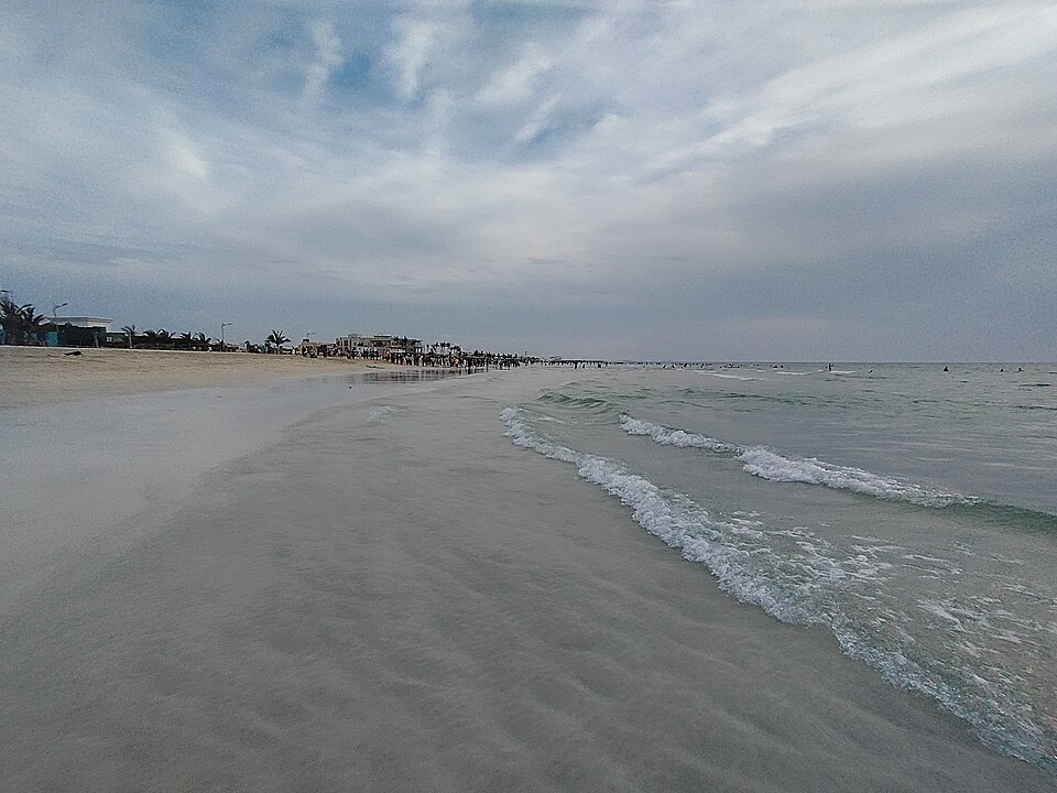
Umm Al Quwain beach in April 2024, before the spill. Archive photograph, not the 2026 pollution.
Umm Al Quwain beach in April 2024, before the spill. Archive photograph, not the 2026 pollution. — Mtabuco / Wikimedia Commons — CC BY-SA 4.0 https://creativecommons.org/licenses/by-sa/4.0/ — 10 avril 2024 ; taille réduite.

The new reporting concerns analysis of those images. Beach closures in Umm Al Quwain, Al Hamriyah and Ras Al Khaimah had been announced in previous days, while teams continued containment and cleanup work.

Experts interviewed by Reuters attribute the leak to the tanker Gem No.2. However, UAE authorities had not named the vessel or publicly established the cause of the spill in the consulted material. The extent of ecological damage and a date for beaches to reopen remain unspecified.

Sources 3